


UNION WARD 1, Franklin County, Missouri
About
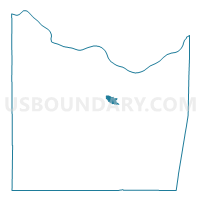
Outline

Summary
| Unique Area Identifier | 607825 |
| Name | UNION WARD 1 |
| County | Franklin County |
| State | Missouri |
| Area (square miles) | 1.87 |
| Land Area (square miles) | 1.87 |
| Water Area (square miles) | 0.00 |
| % of Land Area | 100.00 |
| % of Water Area | 0.00 |
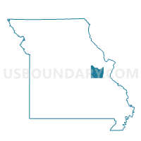
| Latitude of the Internal Point | 38.45814870 |
| Longtitude of the Internal Point | -91.01068140 |
Maps

Graphs
Select a template below for downloading or customizing gragh for UNION WARD 1, Franklin County, Missouri


Neighbors
Neighoring Voting District (by Name) Neighboring Voting District on the Map
- KRAKOW Voting District, Franklin County, MO
- UNION OUT OF TOWN Voting District, Franklin County, MO
- UNION WARD 3, Franklin County, MO
- UNION WARD 4, Franklin County, MO